



|
Quantity
|
Cost
|
||
|
|
|||
|
|
|||
Mobile Radiological System Ecotest GeoRad-M
Downloads:
PDF Instruction 1
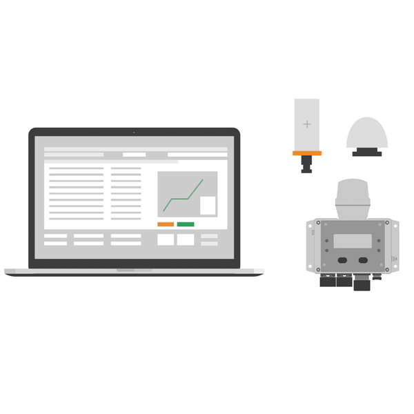
The Ecotest GeoRad-M hardware-software complex is an advanced radiological solution engineered for vehicle-mounted mobile laboratories and environmental monitoring units. The system delivers continuous measurement of ambient dose equivalent rate (ADER) of gamma radiation dynamically referenced to precise spatial-temporal coordinates via an integrated high-precision GNSS receiver.
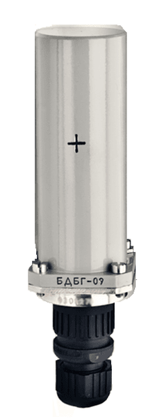
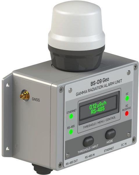
Comprising the BDBG-09 gamma detection unit, BS-09 Geo processing and navigation hub, and specialized GRad software, GeoRad-M utilizes robust Ethernet communication with Power over Ethernet (PoE) support. Collected radiometric data is mapped in real time on OpenStreetMap, Google Maps, or Google Earth layers with location accuracy within 2.5 meters.
The complex features dual-level acoustic and visual alarm thresholds, equipment failure self-diagnostics, and 1-second interval telemetry archiving. Designed for demanding mobile environments, GeoRad-M is ideal for emergency response, civil defense, and industrial radiation surveys.
Applications
- Equipping mobile radiological and radiochemical vehicle laboratories.
- Gamma radiation mapping and radiological reconnaissance.
- Environmental radiation monitoring along hazardous transport routes.
- Perimeter security around nuclear facilities and industrial sites.
- Emergency management and nuclear hazard mitigation.
Specifications
| Gamma Detector Unit | BDBG-09 (or equivalent digital probe) |
| Gamma ADER Measurement Range | 0.05 to 10^7 µSv/h |
| Gamma Energy Range | 0.05 to 3.0 MeV |
| Basic Relative Uncertainty | ±(15 + 2/H*(10))% |
| Energy Response (0.05 to 1.25 MeV) | ±25% |
| Navigation System | GNSS (2.5 m RMS accuracy) |
| GNSS Start Time (Cold / Hot) | 35 s / 2.5 s |
| Data Logging Interval | 1 s |
| PC Communication Interface | Ethernet |
| Power Supply | PoE (25–60 V) or External DC (12–32 V) |
| Serial Interface | RS-485 power/data option |
| Supported Mapping Services | OpenStreetMap, Google Maps, Google Earth |
Package Contents
- BDBG-09 Gamma detection unit with logbook and manuals
- BS-09 Geo processing unit
- BULLET III TRIMBLE GNSS antenna (with 5m cable)
- BDBG-09 connecting cable (5m)
- Power cable (5m)
- Ethernet network cable (2m)
- GRad software suite on USB flash storage
- User operating documentation